Google Earth solves and creates problems for archaeologists
Open-access imagery is changing the face of archaeology, and that may not be a good thing.
The May issue of Discover magazine takes a look at this phenomenon and enlists the expertise of Arizona State University archaeologist Francis McManamon to help size up the problem.
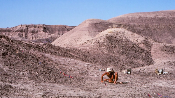
Increasingly, amateur archaeologists are using imaging technology like Google Earth to help them find indications of ancient sites – such as eroded agricultural furrows, defensive berms and burial mounds – that might go unnoticed at ground level.
While some archaeology hobbyists report their finds to the proper authorities and act responsibly, others despoil sites and their holdings through unintentionally improper excavations or outright looting.
The main issue is that the framework of discovery is often lacking in amateur finds.
“Most archaeological data is contextual. It’s important to know what was found next to what, in which layer [of soil],” McManamon said. “It’s what happens at a site after the discovery of an artifact that’s crucial.”
Though professional archaeologists still use satellite imagery for field site planning, for new finds they tend to rely more heavily on light detection and ranging technology or hyperspectral imaging, which provide greater detail and accuracy.
Google Earth appears to be the domain of non-professionals. As the program joins the ranks of metal detectors in archaeology buffs’ toolkits, there is a danger of unscrupulous individuals finding sites with greater ease and causing more damage.
McManamon, like many of his peers, actively promotes responsible amateur archaeology. A research professor in the School of Human Evolution and Social Change, he is also the executive director of Digital Antiquity, which houses the massive archaeological data archive known as the Digital Archaeological Record (tDAR).
Designed for researchers, tDAR is also open to – and frequently used by – amateurs, which pleases McManamon, who believes the open access creates better informed people who become better stewards of archaeological sites.
“Take a photo, get precise GPS coordinates, but then take that information to the state archaeologist’s office,” he suggested. “You can still have the excitement of exploration and discovery, of getting out there, but ensure what you find gets properly preserved and interpreted.”
Article source: Discover magazineMore ASU in the news
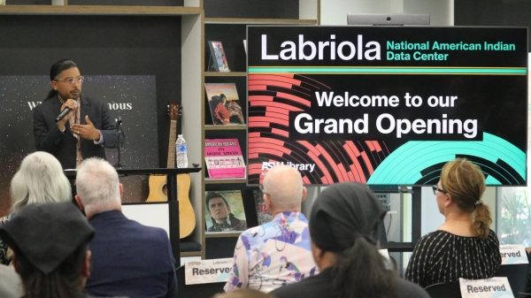
ASU celebrates new Tempe campus space for the Labriola National Data Center
Was Lucy the mother of us all? Fifty years after her discovery, the 3.2-million-year-old skeleton has rivals