ASU spatial analysis tool passes 100K users milestone

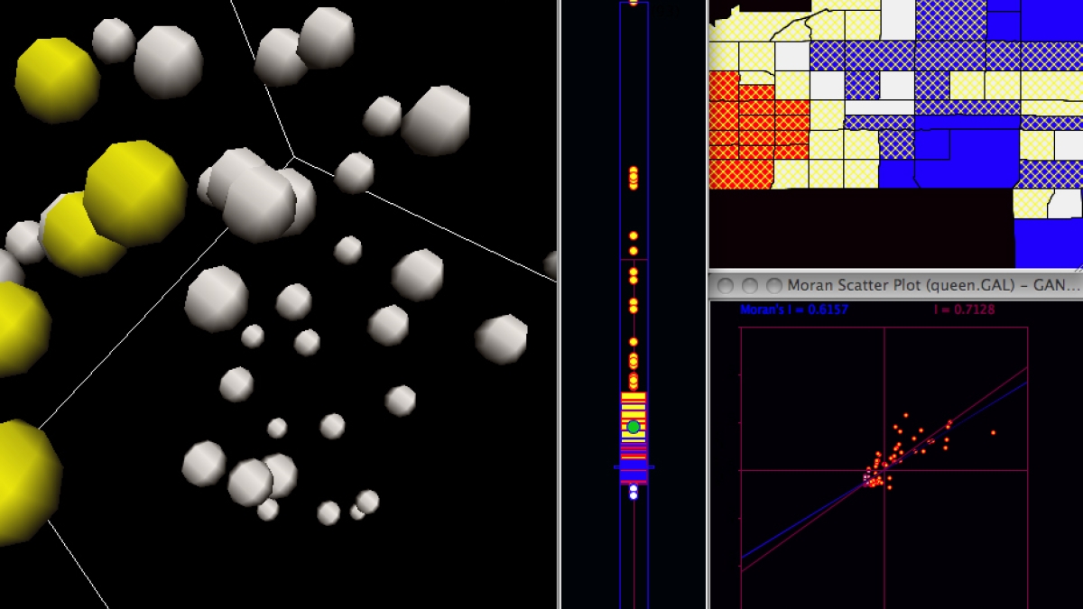
GeoDa, the software that serves as an introduction to spatial data analysis and is developed at ASU’s GeoDa Center for Geospatial Analysis and Computation, has now been downloaded by 100,000 users. The software passed the milestone of 100,000 unique user downloads on March 12.
The GeoDa Center was established as a research unit of the School of Geographical Sciences and Urban Planning in 2008 and is directed by Regents’ Professor and Walter Isard Chair Luc Anselin. The mission of the GeoDa Center is to function as an internationally recognized hub for research, software development and training in the areas of geospatial analysis and computation, including spatial econometrics, spatial optimization, geocomputation, cyberGIS, geovisualization and decision support.
The free, open source, cross-platform program’s development is directed by Luc Anselin, and is under active development with several new releases per year. Software engineers Mark McCann and Xun Li are currently working on a new version to be released shortly. Future plans involve modernizing its interface and transforming the architecture into a dashboard for big data visual analytics.
GeoDa has been adopted as a standard for introduction of spatial analytical techniques. It has been installed in computer labs of numerous universities, including Harvard, Massachusetts Institute of Technology, Brown, Yale and the University of Pennsylvania, as well as the Census Bureau and select research data centers. Documentation and user support are provided through free tutorials and the Openspace listserv.
GeoDa can be downloaded at http://geodacenter.asu.edu/software for free, with the other free and open-source software of the GeoDa Center. For more information, contact geodacenter@asu.edu.
The GeoDa Center for Geospatial Analysis and Computation is a research unit of the College of Liberal Arts and Sciences.